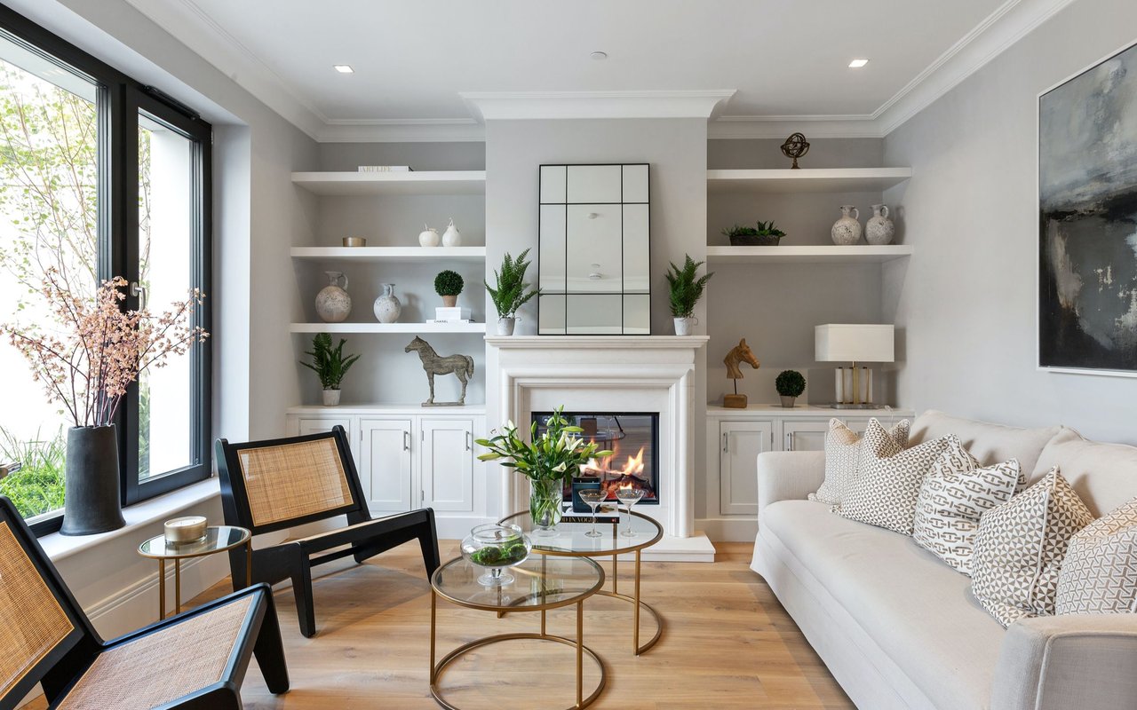
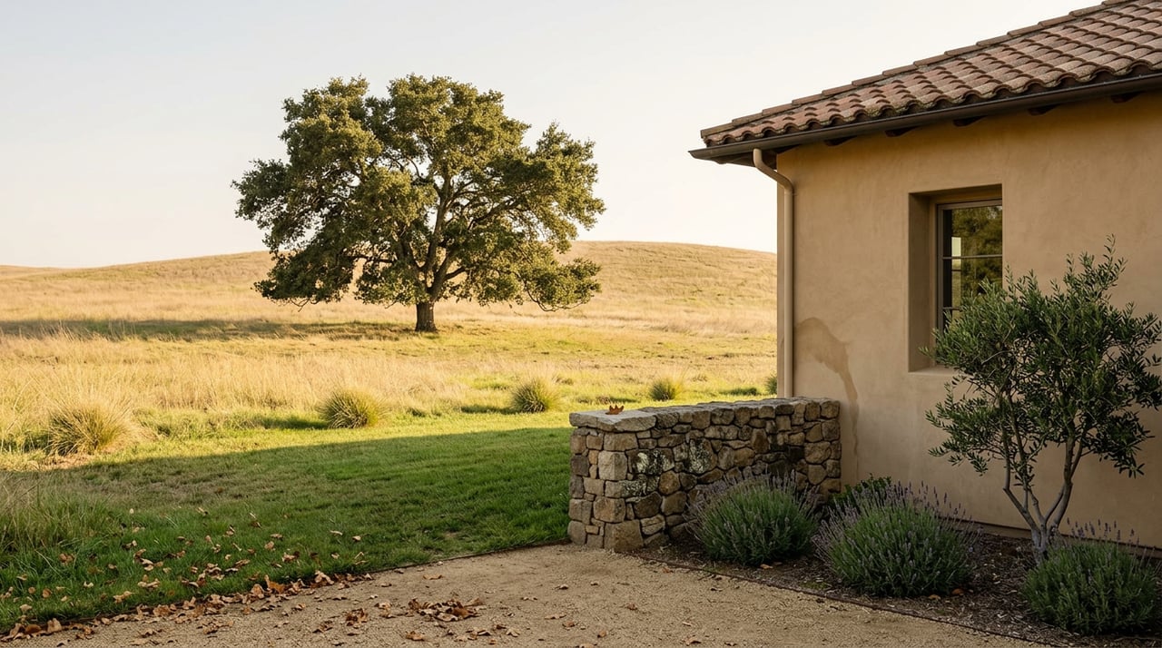
Pull up two active Atascadero listings on the same day and you might see this: a three-bedroom home on a standard in-town lot near El Camino Real, and a comparable home a short drive away sitting on several acres in the west-side hills, the kind of parcel that's sometimes listed as having its first time on the market in decades. Both addresses say Atascadero. Both would land inside the same citywide median if they closed in the same month. Neither tells you anything about the other.
That's the problem with quoting a single median price for this city. Atascadero doesn't have one housing market. It has two, stitched together by a subdivision map that's more than a century old, and the number everyone repeats blends them into something that describes neither.
The Number Everyone Quotes Is Averaging Two Different Products
Over the 30 days ending July 30, 2026, the median closed sale in Atascadero came in at $857,500, or $461 per square foot, per CRMLS, with homes selling in a median 19.5 days and closing at 97.6% of final list price. Inventory sat at 2.2 months, which points to a seller's market.
Pull the same window from a different source and the picture shifts. National listing aggregators tracking the same summer showed list prices moving in the opposite direction, with per-square-foot figures 8 to 10% lower than the CRMLS closed-sale number and days on market running well past 70. One home-value index put the typical home in the high $700,000s and falling year over year.
None of these sources are wrong. They're measuring different things: closed sales versus active listings, a rolling MLS window versus a smoothed monthly index, homes versus land. But the spread itself is a clue. A market with one coherent product doesn't produce estimates that disagree by six figures depending on which window you pull. A market with two products stapled together does exactly that, and the price-per-square-foot figure everyone quotes only ever describes the structure. It says nothing about what's underneath it, because the number is calculated on living space, not the parcel.
That gap between structure and land is where the real story sits.
A 1914 Subdivision Map Is Still Deciding What Atascadero Means
In 1913, magazine publisher E.G. Lewis bought the roughly 23,000-acre Atascadero Rancho and set out to build a planned agrarian community. The following year his surveyors platted the whole thing, laying out roads, orchards, a mutual water company, and the landmark 1918 Administration Building that still anchors the historic downtown. The city didn't incorporate until 1979, more than sixty years after that original plat, and by then the colony's street grid and its unusually large lots had already become permanent geography.
That matters because of where Lewis put the biggest parcels. The colony area south of the city, east of Highway 101, is still described by San Luis Obispo County today as rolling grasslands with scattered oaks, with property sizes ranging from one to ten acres. The county has a minimum for any new lot in that area, set specifically to preserve open space, animal keeping, and rural character, and it's still on the books.
So when someone says "Atascadero," they could mean a standard suburban tract lot in the flats along El Camino Real, or a colony-era parcel with room for a barn, a flock of chickens, and an ADU. The city's own general plan leans into this split rather than smoothing it over, guiding new development into the urban core specifically to preserve what it calls the "elbow room" of the historic colony pattern on the larger lots. Both products carry the same zip code. They do not carry the same value logic.
The Supply Of New Large In-Town Lots With City Services Stopped Growing In 2018
Here's the part that turns this from a quirky history footnote into an actual investment mechanism: the supply of newly added large parcels with full city services is not growing, and it stopped growing at a specific, datable moment.
For most of the 2000s and 2010s, the city's plan for adding more of these parcels centered on Eagle Ranch, a proposed annexation of roughly 3,457 acres of largely original colony lots on Atascadero's southern edge. The project would have folded hundreds of undeveloped colony parcels into city limits with city water and sewer, effectively manufacturing a new batch of the large in-town lots that make Atascadero's stock distinctive. The city council and planning commission spent years on draft plans and environmental review.
Then, as Paso Robles Daily News reported, in January 2018, the development team behind the project told the city they were walking away. In their own statement, the partners said the economics of the specific plan simply didn't work, that building it out the way the community expected would have produced homes too expensive for the local market to bear, and that they didn't want to create a project only the very wealthy could afford. The annexation was formally dropped.
Nothing has replaced it since. The city's Urban Reserve Line, which marks where municipal water and sewer service can realistically extend, still generally coincides with the historic colony boundary. That means the city isn't adding new large parcels with full city services, even though existing parcels can be split. No new batch is coming online the way it would have with Eagle Ranch. Whatever colony-era acreage exists inside city limits today is close to whatever will exist for the foreseeable future.
The Same Lots Are Now Exposed From The Other Direction
Here's the twist that makes this a genuinely two-sided story rather than a simple scarcity pitch: the same colony-era acreage that can't be expanded through annexation is now legally easier to split than it's ever been.
The City of Atascadero says California's SB9, in effect since January 1, 2022, allows up to four units on a single-family zoned lot through a combination of a two-unit development and an urban lot split, and Atascadero has adopted its own SB9 ordinance setting objective standards for lot configuration, setbacks, and design. Separately, Dwellito says state ADU law lets a homeowner add an accessory unit up to 1,000 square feet for a two-bedroom design, or a junior ADU up to 500 square feet, without being subject to the underlying zone's minimum lot size at all. Some parcels were platted back in 1914 as part of an orchard homestead. If anything, its size makes it a more obvious candidate for a lot split than the quarter-acre tract home three miles away.
So the buyer looking at a colony-era parcel today is underwriting two forces pulling in opposite directions. The lot itself can't be replaced once it's gone, because the city isn't annexing more colony ground. But the lot as it exists today, whole and unsplit, isn't guaranteed to stay that way, and neither is the one next door. A quiet three-acre street could look different in five years if even one or two neighbors pursue an urban lot split.
What This Means If You're Comparing Atascadero Listings
The practical takeaway isn't that acreage is automatically a better buy, or that in-town lots are a trap. It's that the citywide median can't tell you which product you're looking at, so the diligence has to happen at the parcel level.
Before treating any Atascadero listing as a fair comparison to another, it's worth checking a few things directly with the county assessor or the city's planning department: whether the parcel sits within the historic colony boundary and the Urban Reserve Line, what water source serves the property (city connection versus Atascadero Mutual Water Company shares versus a private well), and whether the actual lot size aligns with the underlying zoning's stated minimum or exceeds it significantly. For anyone weighing long-term hold value on a larger parcel, it's also worth understanding SB9 exposure on the block itself, not just the subject property, since a neighbor's lot split can change the feel of a street without changing anything about your own deed.
None of this shows up in a median price or a price-per-square-foot figure. It shows up in the parcel map, the water company records, and the zoning file, and it's exactly the kind of detail that separates a confident offer from a guess.
A Few Common Questions
Is every large lot in Atascadero part of the original colony subdivision? Not necessarily. The most consistent concentration of one-to-ten-acre parcels sits in the colony area the county describes as south of the city and east of Highway 101, but colony-era platting also shaped parts of the west-side hills. Parcel history should be confirmed directly rather than assumed from location alone.
Does owning a large lot guarantee I can add an ADU or split the parcel? No. State ADU rules override local minimum lot size for the accessory unit itself, but the primary parcel still has to meet the city's underlying zoning and SB9's own eligibility requirements. Anyone considering this should confirm eligibility with Atascadero's planning department before assuming a lot qualifies.
Is 2026 a good time to buy in Atascadero? That depends entirely on which product you're comparing. A seller's market with 2.2 months of inventory and homes closing near list price, as measured over the 30 days ending July 30, 2026, describes a fairly tight market for typical resale homes. Colony-era acreage moves on a different rhythm, with fewer comparable sales and more variation in what each parcel actually offers.
If you're trying to figure out which side of this market a specific Atascadero property actually falls on, that's exactly the kind of question worth a direct conversation rather than a portal search. Oaks to Ocean Real Estate works these parcels and their zoning history on a regular basis, and Jessica Baker's team can walk through the specific lot, water source, and subdivision history behind any address you're considering. Request Your Free Home Valuation to start with a clear read on where your property, or the one you're eyeing, actually sits in this market.
This article is general information, not legal, tax or financial advice. Consult a qualified professional about your situation.